


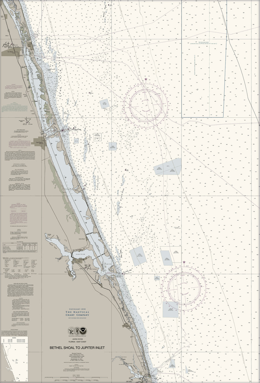


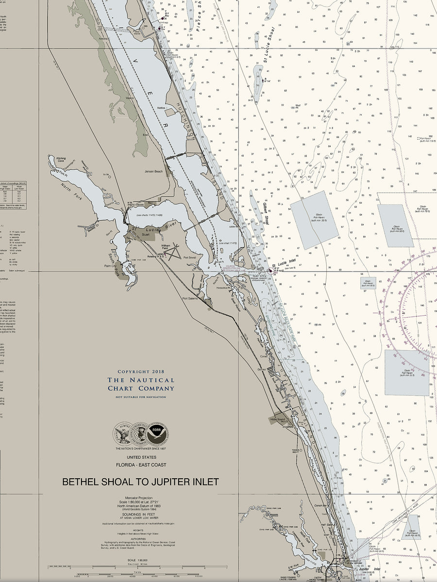


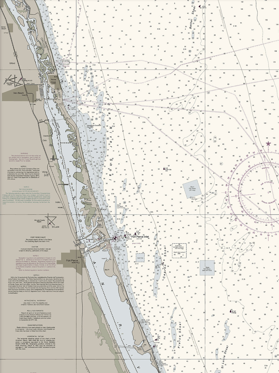


Bethel Shoal To Jupiter Inlet Nautical Chart
$129.00
- Some frame styles may not accommodate certain sizes. If you see a size is "Unavailable" then try another frame type or size. For larger print sizes select "Gallery Wrap Canvas" as the frame type!
- To get a better view, click on a picture on the left to be able to zoom in and view the gallery.
- US Shipping is already included in all prices so no hidden fees during checkout!
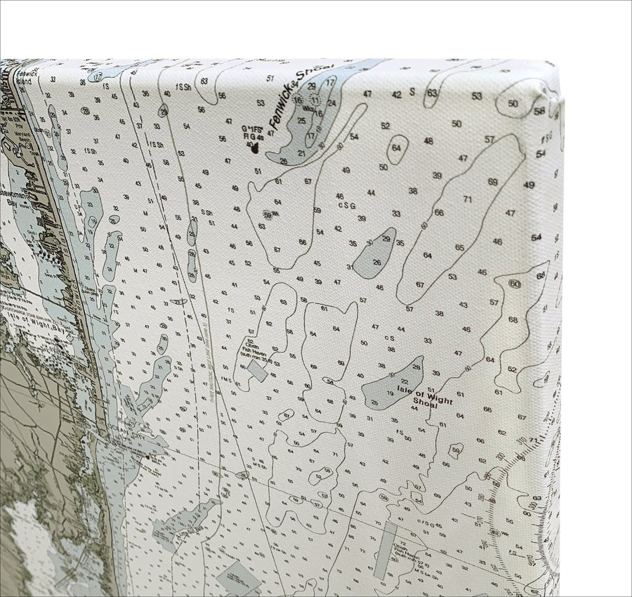
The Bethel Shoal to Jupiter Inlet Nautical Chart provides detail for an area spanning up to 50 miles. Covering the area from Bethel Shoal to Jupiter Inlet, this chart includes shoal areas and wrecks located over 10 miles offshore, as well as a prominent dual tower at Riomar, located 12 miles north of Fort Pierce
-
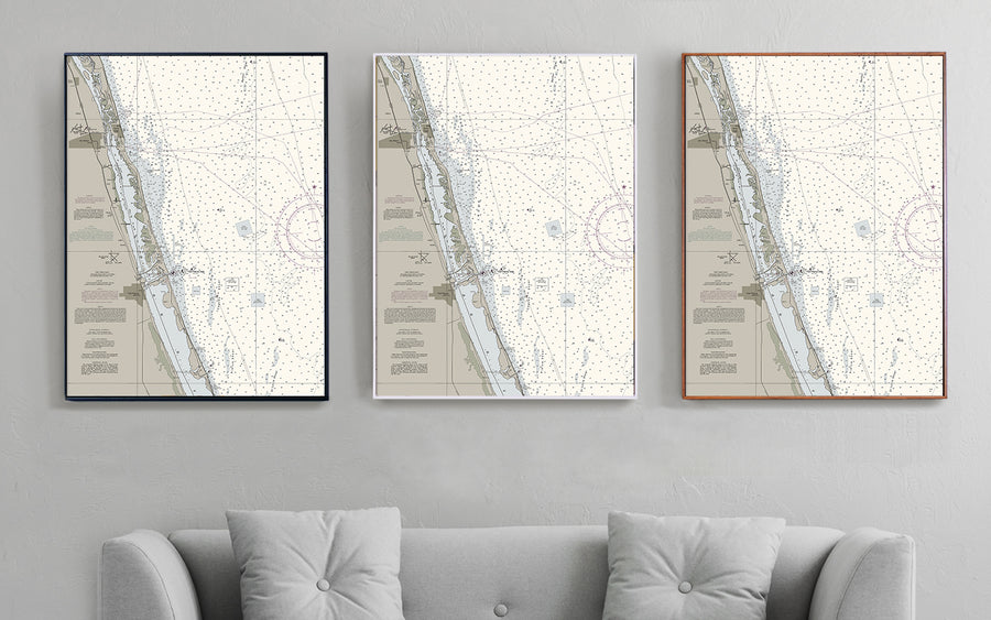
Multiple sizes available
- Either printed on photo paper in a traditional frame
- Or printed on art canvas and stretched around a gallery wrap frame
- Will not fade or discolor and ready to hang
- Proudly made in the USA!