

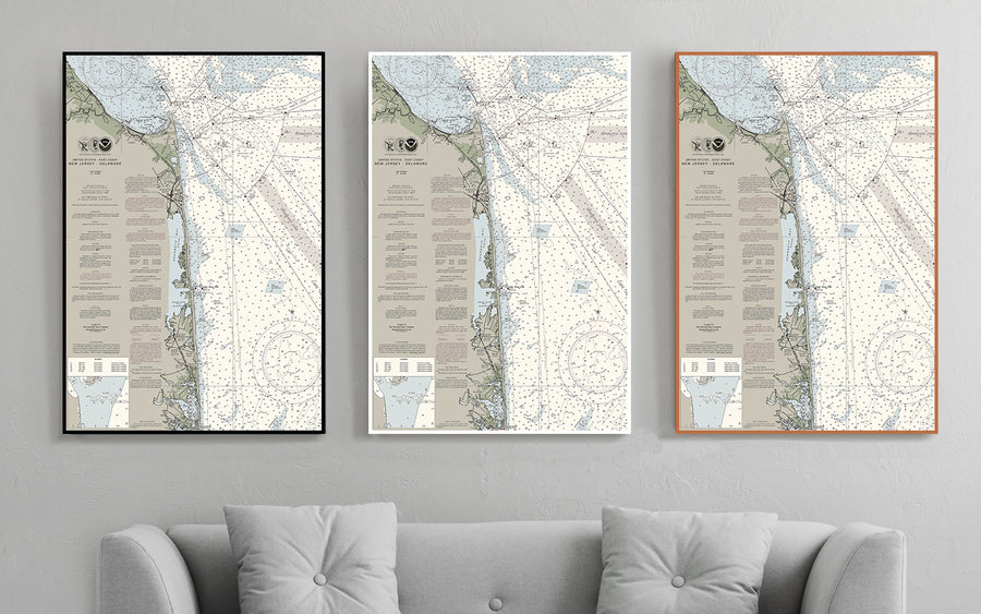


Cape Henlopen to Fenwick Island - Delaware - Nautical Chart
$129.00
- Some frame styles may not accommodate certain sizes. If you see a size is "Unavailable" then try another frame type or size. For larger print sizes select "Gallery Wrap Canvas" as the frame type!
- To get a better view, click on a picture on the left to be able to zoom in and view the gallery.
- US Shipping is already included in all prices so no hidden fees during checkout!
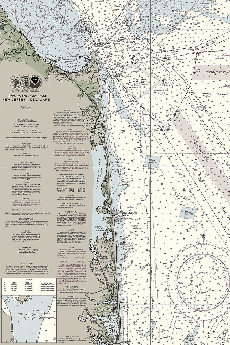
Situated at the mouth of the Delaware Bay sits Cape Henlopen State Park and its 6+ miles of coastline. The “Point” of Cape Henlopen, where the Delaware Bay meets the Atlantic Ocean, shaped the history of this landscape. Delaware’s southernmost beach, Fenwick Island State Park offers three miles of ocean beaches along with access to the Little Assawoman Bay
Multiple sizes available
- Either printed on photo paper in a traditional frame
- Or printed on art canvas and stretched around a gallery wrap frame
- Will not fade or discolor and ready to hang
- Proudly made in the USA!