

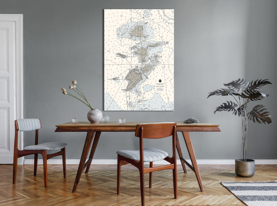


Bass Islands, Ohio Nautical Chart - Put In Bay
$129.00
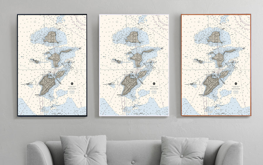
- Some frame styles may not accommodate certain sizes. If you see a size is "Unavailable" then try another frame type or size. For larger print sizes select "Gallery Wrap Canvas" as the frame type!
- To get a better view, click on a picture on the left to be able to zoom in and view the gallery.
- US Shipping is already included in all prices so no hidden fees during checkout!
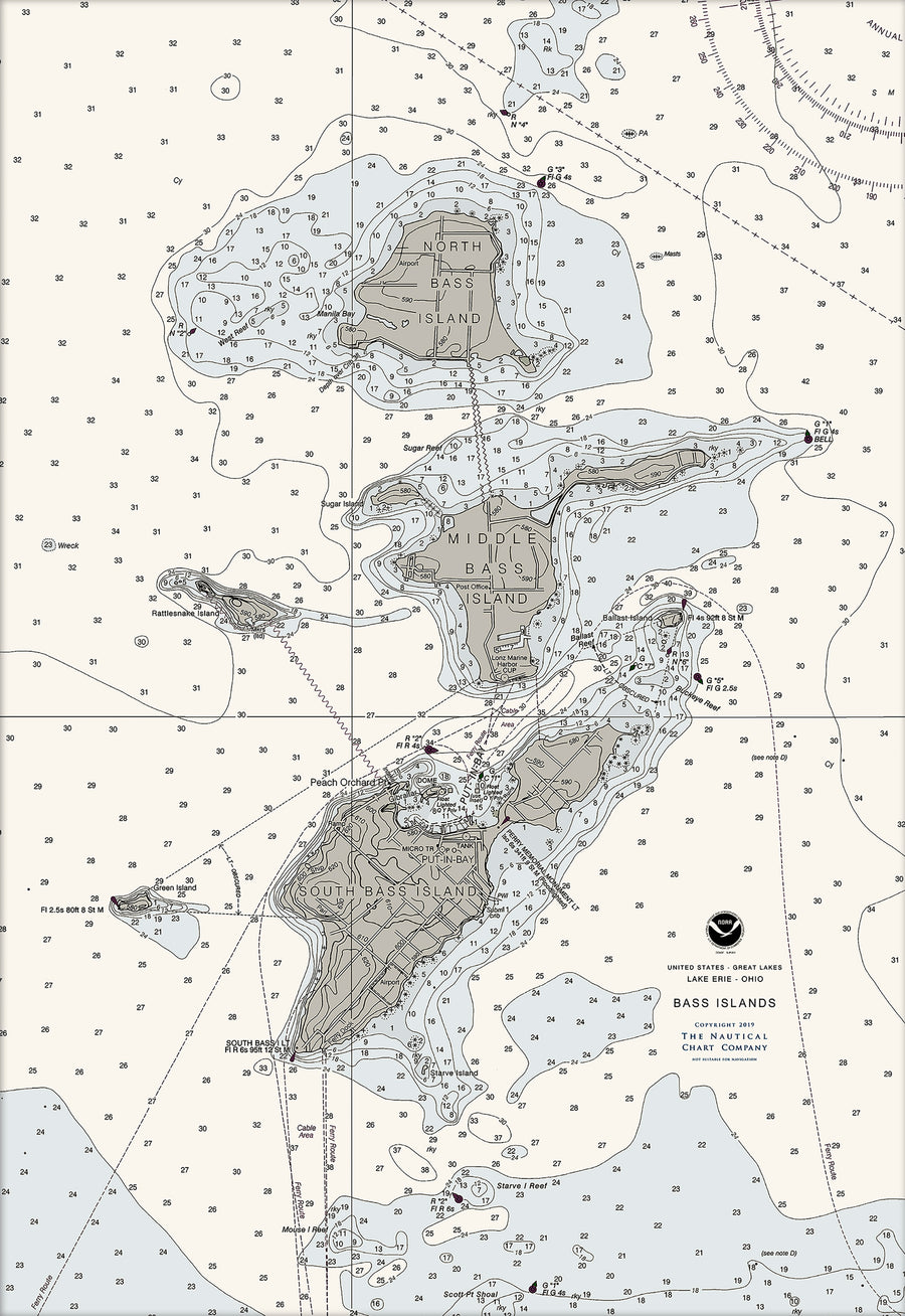
This nautical chart art features the Bass Islands in Lake Erie near Put-in-Bay, Ohio. It includes the largest island, South Bass Island (41.6497°N 82.8189°W), as well as North Bass Island (41.7160°N 82.8196°W) and Middle Bass Island (41.6821°N 82.8107°W). Historically, Middle Bass was also called Ile de Fleurs and North Bass was known as Isle St. George. Perfect for lakeside decor!
- Multiple sizes available
- Either printed on photo paper in a traditional frame
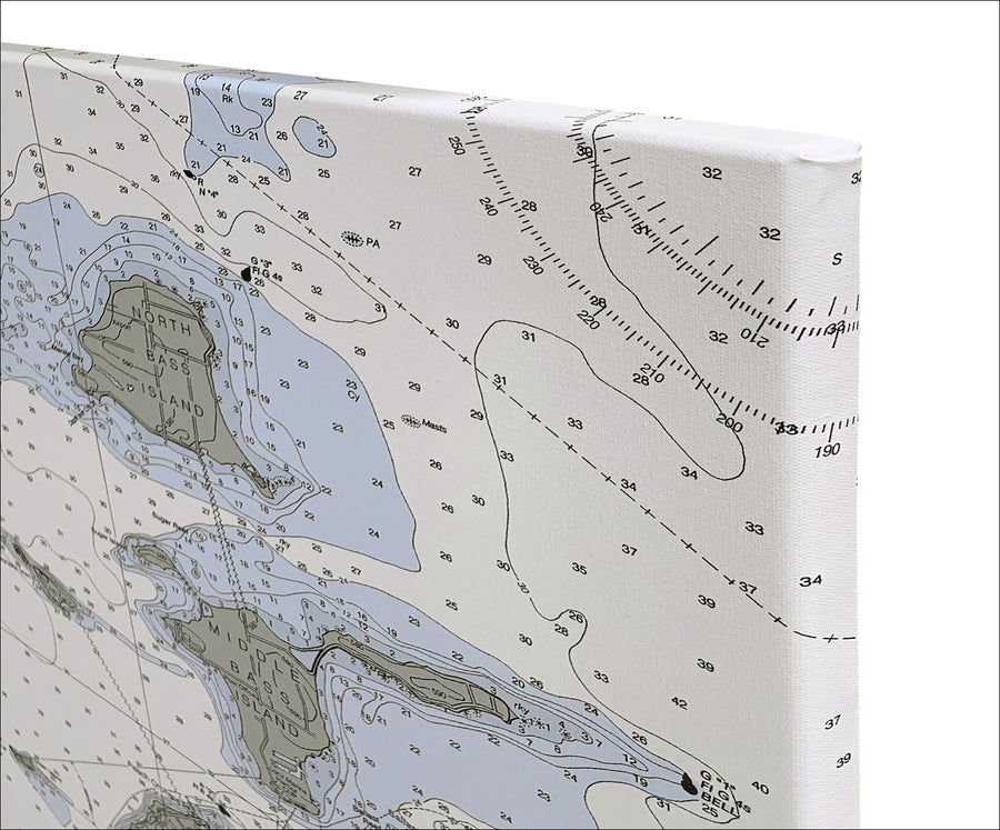
- Or printed on art canvas and stretched around a gallery wrap frame
- Will not fade or discolor and ready to hang
- Proudly made in the USA!