

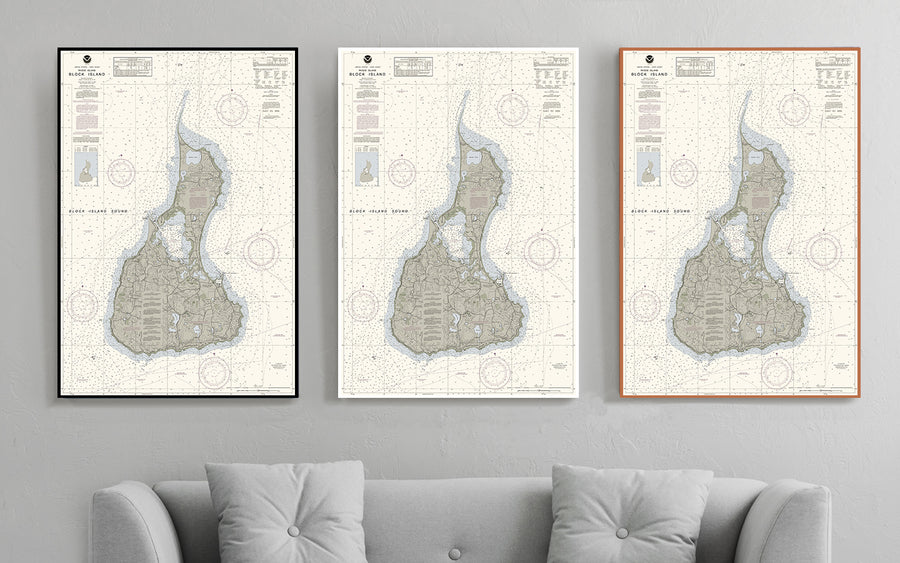
Block Island Nautical Chart
$129.00
- Some frame styles may not accommodate certain sizes. If you see a size is "Unavailable" then try another frame type or size. For larger print sizes select "Gallery Wrap Canvas" as the frame type!
- To get a better view, click on a picture on the left to be able to zoom in and view the gallery.
- US Shipping is already included in all prices so no hidden fees during checkout!
Block Island is an island of the Outer Lands coastal archipelago, located approximately 9 miles (14 km) south of mainland Rhode Island and 14 miles (23 km) east of Long Island's Montauk Point. The island is coterminous with the town of New Shoreham and is part of Rhode Island's Washington County. It is named after Dutch explorer Adriaen Block.
Block Island is a popular summer tourist destination known for its bicycling, hiking, sailing, fishing, and beaches. It is home to the historic lighthouses Block Island North Light, on the northern tip of the island, and Block Island Southeast Light, on the southeastern coast.
- Multiple sizes available
- Either printed on photo paper in a traditional frame
- Or printed on art canvas and stretched around a gallery wrap frame
- Will not fade or discolor and ready to hang
- Proudly made in the USA!